Horus 16
Technical information:
| Launch date | 18/09/2011 09:10 CST |
| Landing date | 19/09/2011 09:27 CST |
| Flight duration | 24 hours, 17 minutes |
| Launch site | -35.10216,138.82648 |
| Landing site | -34.26304,151.0143 |
| Flight path | Web,В KMZ |
| Distance travelled | 1416 km flight path, 1120km Great-circle distance |
| Maximum altitude | 38,807 m |
| Average ascent rate | 2.5 m/s |
| Impact speed | 12 m/s |
| Video camera | None |
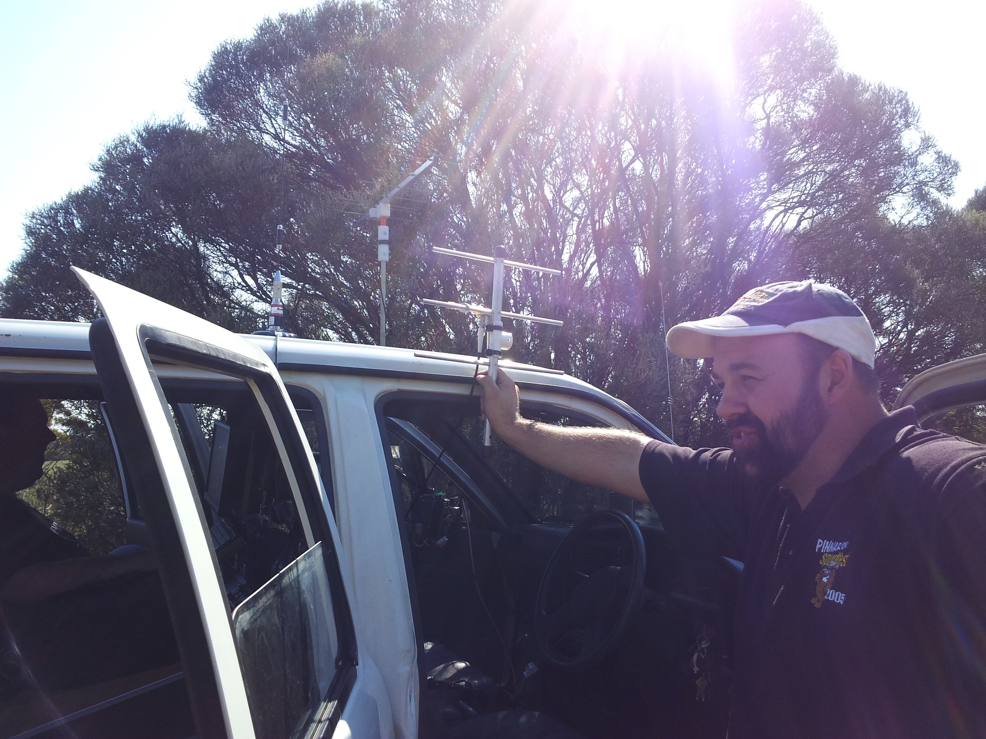
| Flight computer | MicroNut flight computer |
| GPS module | uBlox NEO-5Q + Sarantel GeoHelix antenna |
| Radio transmitter | Radiometrix NTX2 25mw |
| Telemetry | 300 baud RTTY, CRC16 checksum |
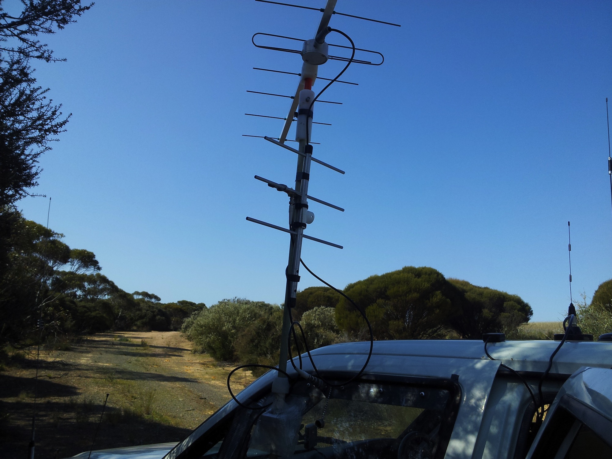
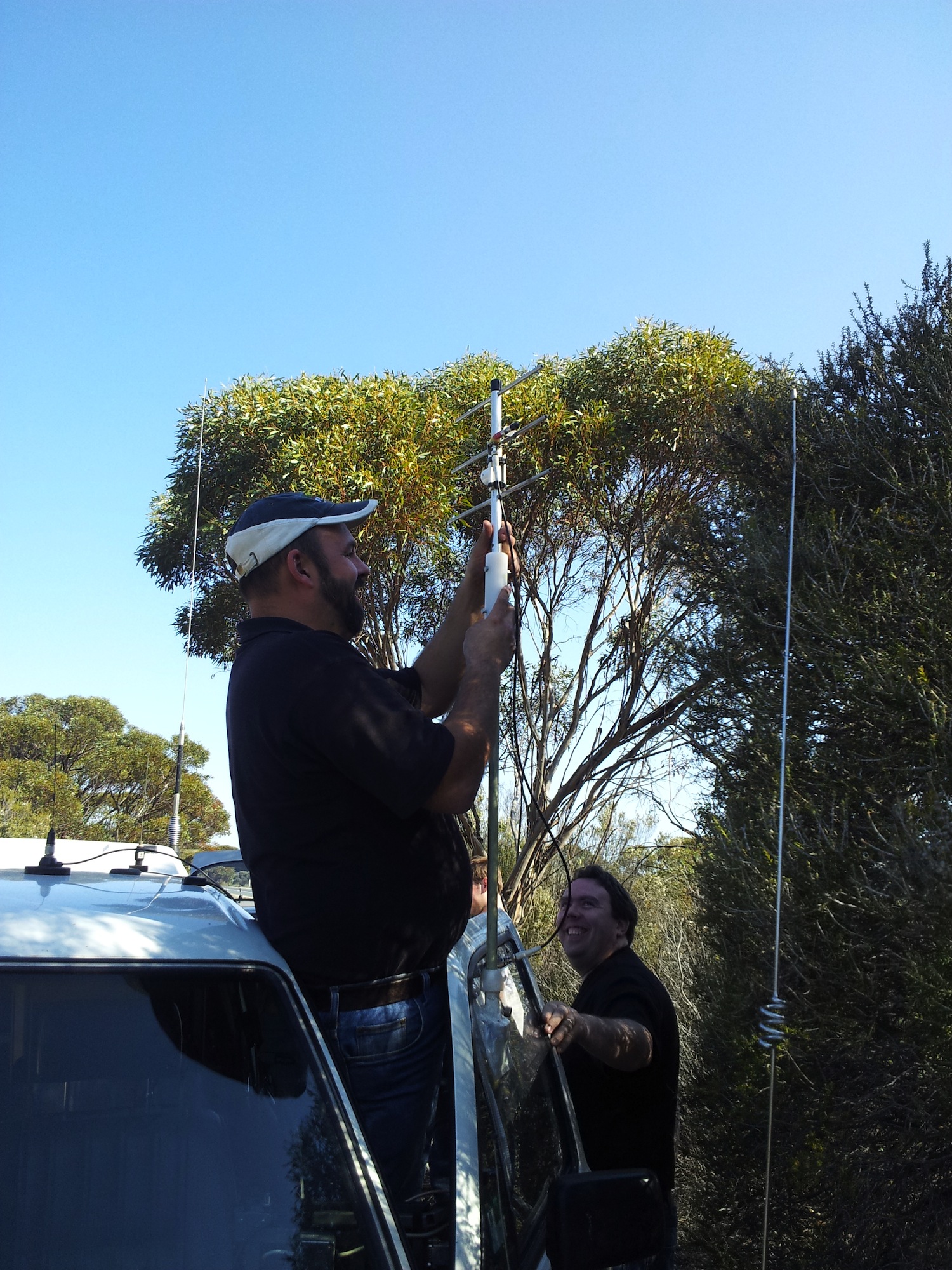
| Tracking | Ground stations (distributed listener), web based tracker |
Details:
Horus 16 was another attempt at the amateur altitude record, this time using one of the brand-new MicroNut telemetry boards. Sadly, it failed to reach the expected altitude, but more than made up for it in travel distance.
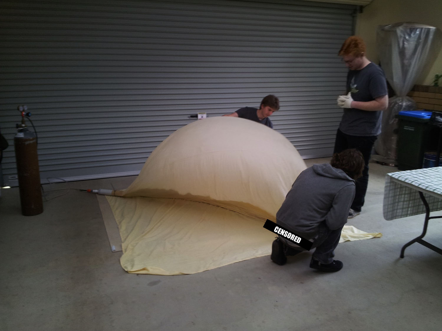
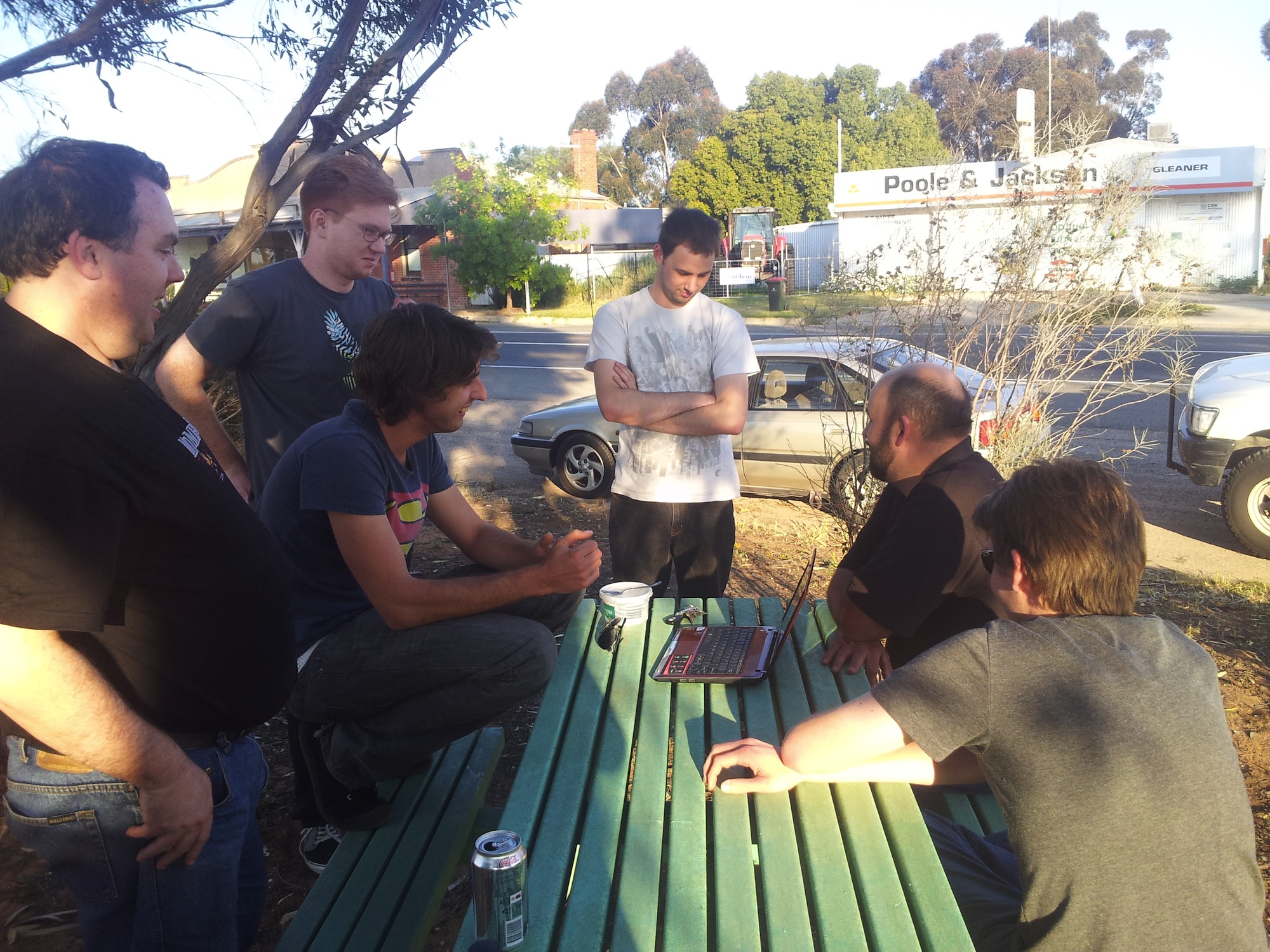
Preparation & Launch:
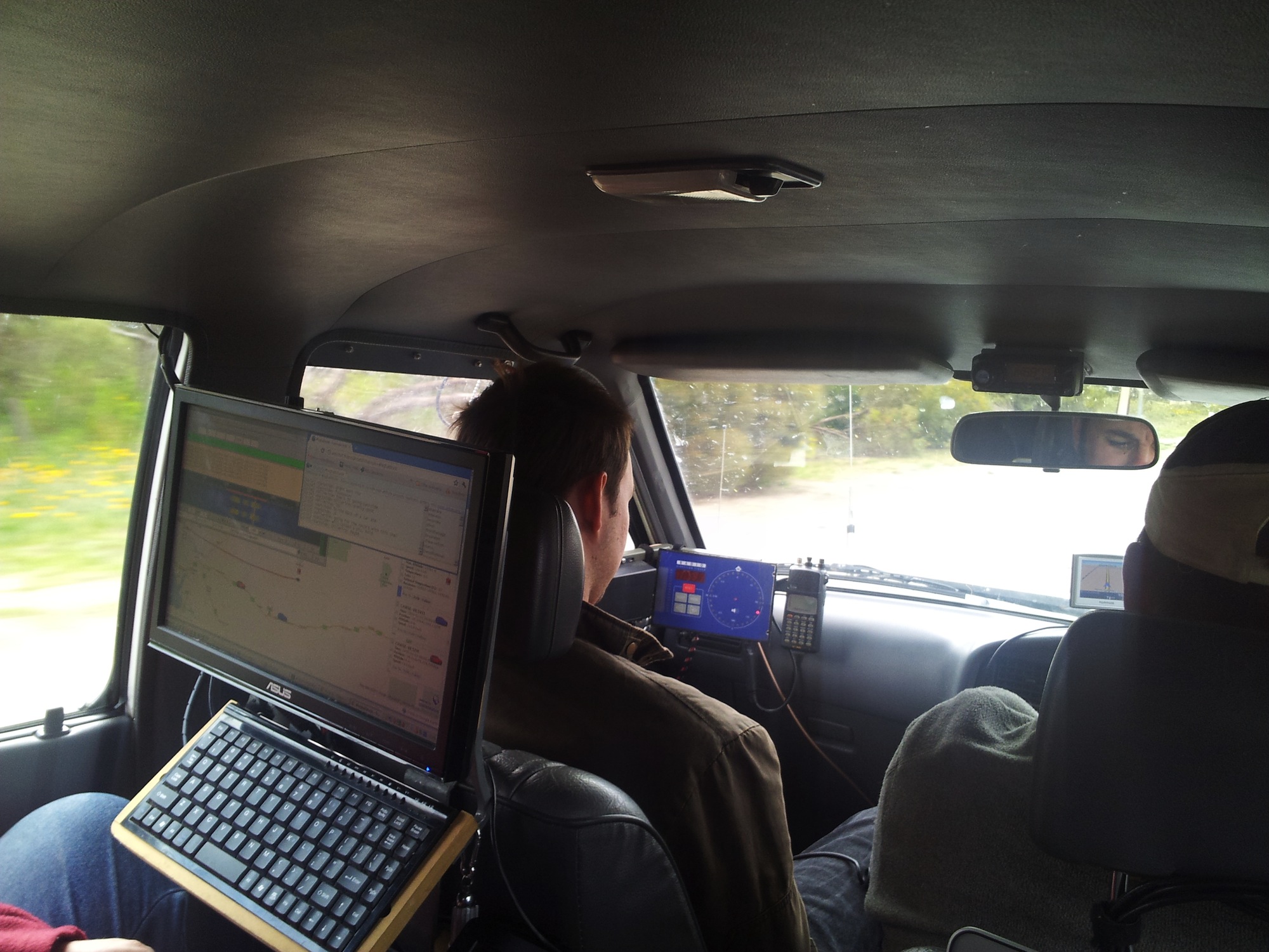
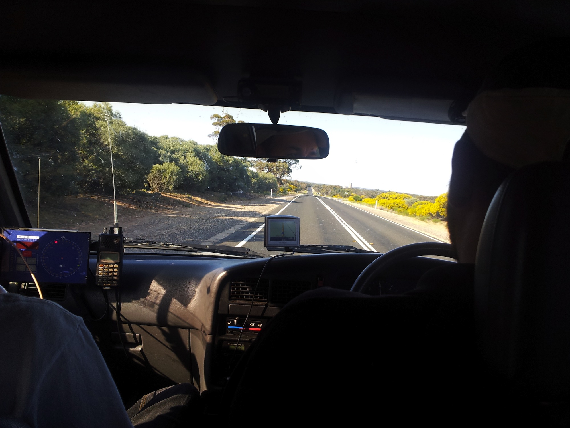
The morning started with all sorts of car-computer troubles. An automatic update had changed theВ behaviorВ of Java's DLL loading, causing a bug in our offline tracking software in one of the chase cars. A test with a backup laptop showed exactly the same problem, meaning we had to rely on the Spacenear.us web based tracking system. Luckily, one car computer was still working with the offline system, so if all else failed we could still track.
Flight & Tracking:
In order to reach the extremely high altitudes we were targeting, the balloon was under-filled, with approximately 400g of neck lift. As a result the balloon rose quite slowly, at approximately 2.5m/s. В After В the 9am launch, the flight progressed as expected, reaching 17km altitude just north of Lameroo before going into a slow upward spiral. After reaching 37km altitude, the balloon started heading north, and we followed. At 37.6km altitude the balloon started heading east, and with the ascent rate slowing we started to suspect that the balloon had reached equilibrium & was floating. Our suspicions were confirmed soon after - while crossing the border between South Australia and Victoria, the balloon rose to 38.4km and started to slowly oscillate in altitude, going up and down by a few hundred metres.

Hoping for a burst that didnt happen...
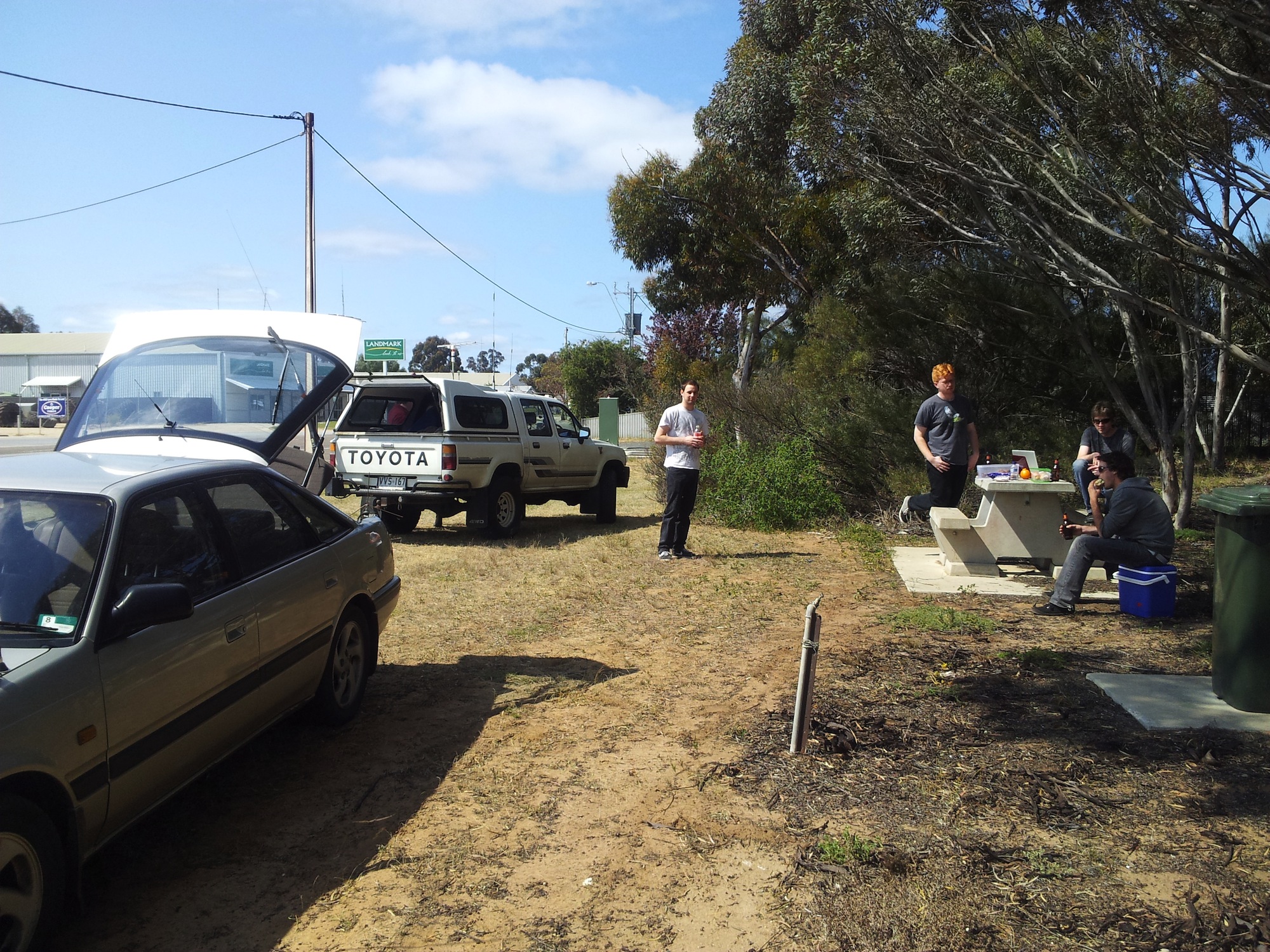
We continued following the balloon as it travelled further and further into Victoria. As we were starting to suspect we wouldn't be able to follow the balloon until burst, we contacted amateur radio operators in Victoria, New South Wales and the ACT, so we would have more ground stations tracking.

- Receivers across 4 states tracking Horus 16

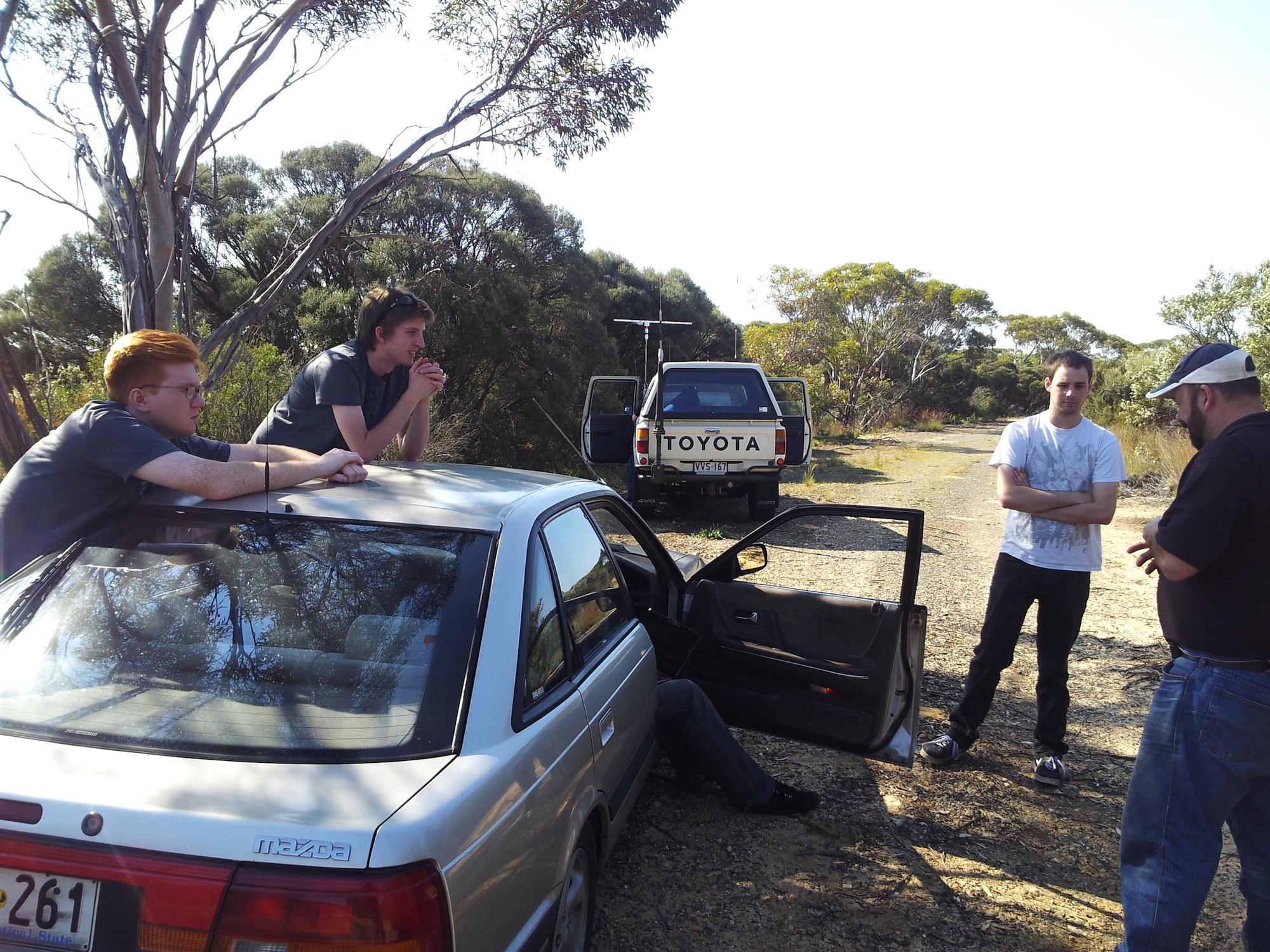
If this flight had been anywhere near normal, the latex in the balloon should have broken down after a few hours, causing the balloon to burst. However when sunset came, 9 hours after launch, the balloon still hadn't burst. At this point we realised that there was little chance of the balloon bursting until morning, which on the balloon's current trajectory would have put it off the coast of Victoria. We reluctantly gave up the chase and headed into Swan Hill for much needed food. All the while, we were seeing more and more receiver stations coming online, tracking Horus 16.
While heading home we saw receiver stations in 4 states tracking the balloon - a brilliant example of the online tracking system at work. Without all those amateur operators tracking, we wouldn't have known the fate of Horus 16. As it turns out the balloon headed north and passed near Canberra before heading east, bursting north of Wollongong and splash-landing 5km off the coast of New South Wales.

Horus 16 flight path, with other landing sites for comparison.
Sadly, Horus 16 was not recovered. There's a small chance it may wash up on the coast-line north of Wollongong and be found, but given the rough coastline this seems unlikely.
A huge thanks goes out to all the amateur radio operators who helped us track Horus 16 all the way through to landing. Particular thanks goes to VK1KW, who stayed awake from 7pm Sunday night until burst at 9am Monday morning. Also thanks to VK2AW and VK2HRX, who provided the last few data points just before landing.